


Tsunami Disaster.....avoidable?
vgkg Z-7 Va
19 years ago
Sort by:Oldest
Comments (70)
Related Stories

HOME TECH7 Ways to Charge Up and Connect After Disaster
Products and tips for communicating and keeping essential items running till the power's back on
Full Story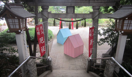
DESIGN FOR GOODShelter in a Storm: Architects Improve Global Disaster Relief
Temporary housing takes a well-designed turn with affordable, easily stored structures that address privacy
Full Story
ORGANIZINGAvoid the Great Paper Pileup
Don't let unavoidable scraps cause a jam in your paperless system. These easy tips will keep your home office lanes clear
Full Story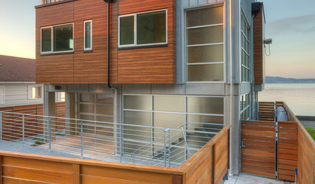
ARCHITECTUREHouzz Tour: Sturdy Enough for a Tsunami
Storms don't scare this Washington state home; breakaway features and waterproof finishes let it weather high winds and waves
Full Story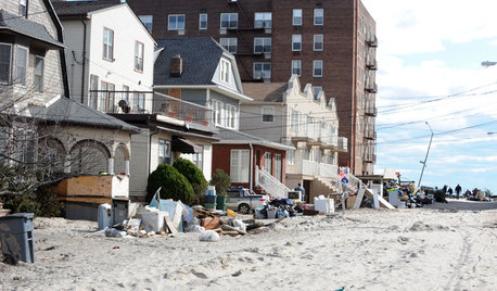
DISASTER PREP & RECOVERY10 Contractor Scam Warning Signs
Protect yourself, your home and your finances after a natural disaster by following these tips for sniffing out storm chasers
Full Story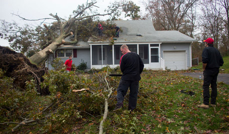
MOST POPULARWhat to Do After a Hurricane or Flood
How you treat your home after a natural disaster can make all the difference in its future livability — and your own personal safety
Full Story
DECORATING GUIDESFrom Queasy Colors to Killer Tables: Your Worst Decorating Mistakes
Houzzers spill the beans about buying blunders, painting problems and DIY disasters
Full Story
MOST POPULAR15 Remodeling ‘Uh-Oh’ Moments to Learn From
The road to successful design is paved with disaster stories. What’s yours?
Full Story
MOST POPULARHow to Create an Inventory, Whether You're Naturally Organized or Not
Documenting your home items is essential, even if disaster seems unimaginable. And it may be easier than you think
Full Story
LIFEHow to Prepare for and Live With a Power Outage
When electricity loss puts food, water and heat in jeopardy, don't be in the dark about how to stay as safe and comfortable as possible
Full Story
Bill_G
Bill_G
Related Professionals
Bridgetown Landscape Architects & Landscape Designers · Ashburn Landscape Architects & Landscape Designers · Fillmore Landscape Architects & Landscape Designers · Palm Springs Landscape Architects & Landscape Designers · Barrington Landscape Contractors · Mason Landscape Contractors · Sun City Center Landscape Contractors · Silver Firs Landscape Contractors · Brookhaven Outdoor Lighting & Audio Visual Systems · Goodlettsville General Contractors · Goldenrod General Contractors · Jackson General Contractors · Miami Gardens General Contractors · Towson General Contractors · Welleby Park General ContractorsBill_G
vgkg Z-7 VaOriginal Author
althea_gw
vgkg Z-7 VaOriginal Author
sarahbn
Bill_G
AzDesertRat
althea_gw
Monte_ND_Z3
vgkg Z-7 VaOriginal Author
Monte_ND_Z3
vgkg Z-7 VaOriginal Author
AzDesertRat
socal23
Monte_ND_Z3
althea_gw
Monte_ND_Z3
althea_gw
vgkg Z-7 VaOriginal Author
Monte_ND_Z3
Bill_G
marshallz10
althea_gw
Bill_G
marshallz10
Monte_ND_Z3
wayne_5 zone 6a Central Indiana
marshallz10
shaxhome (Frog Rock, Australia 9b)
socal23
marshallz10
Bill_G
socal23
shaxhome (Frog Rock, Australia 9b)
marshallz10
Monte_ND_Z3
shaxhome (Frog Rock, Australia 9b)
marshallz10
vgkg Z-7 VaOriginal Author
marshallz10
vgkg Z-7 VaOriginal Author
wayne_5 zone 6a Central Indiana
vgkg Z-7 VaOriginal Author
AzDesertRat
socal23
marshallz10
AzDesertRat
althea_gw